

Tuning Your Radar: Gain, Sea Clutter, and Rain Controls
To use marine radar effectively, you must first clear the screen of electronic interference and environmental clutter using the Gain, Sea, and Rain adjustments. Think of these controls as filters that help the processor distinguish between a small fiberglass boat and a wave crest or a rain shower.
Gain is the electronic “volume” of your receiver. If the Gain is too high, your screen will be covered in speckles (electronic noise), making it impossible to see real targets. If it is too low, you might miss small targets like a kayak or a wooden buoy. The goal is to turn the Gain up until you see a light dusting of speckles across the screen, then back it off just until the background clears.
Marine Radar Equipment and Accessories

Furuno FR-10 Color LCD Marine Radar Display – 10"
Furuno FR-10 Color LCD Marine Radar Display – 10"
VIEW LATEST PRICE
Marine Radionavigation and Communications
Marine Radionavigation and Communications
VIEW LATEST PRICE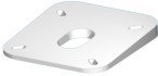
SEAVIEW Direct Radar Mount Angled Wedge | 4° angle below horizontal for improved radar performance | Pre-drilled for major radar brands | Marine-grade polymer construction
SEAVIEW Direct Radar Mount Angled Wedge | 4° angle below horizontal for…
VIEW LATEST PRICESea Clutter (often labeled “Sea” or “STC”) filters out the reflections from waves near your boat. Because waves are closer to the antenna, they return a stronger signal than a distant ship. Increasing the Sea control reduces the sensitivity of the receiver for the first few miles around your boat, effectively “cutting off” the tops of the waves on your screen. You must use this carefully; over-adjusting can hide a small vessel hiding in the troughs of the waves.
Rain Clutter (often labeled “Rain” or “FTC”) addresses the reflections from precipitation. Raindrops reflect radar energy, creating a “smear” or “bloom” on the screen that can hide other boats. Turning up the Rain control breaks up these large masses, allowing you to see solid targets (like another boat) through the softer return of the rain.
| Control | Function | When to Adjust |
|---|---|---|
| Gain | Overall sensitivity | Always adjust first when changing range scales. |
| Sea Clutter | Filters wave reflections | Use in choppy water; reduce in calm harbors. |
| Rain Clutter | Filters precipitation | Use only during rain or heavy mist. |
Understanding Radar Orientation: Heads-Up, North-Up, and Course-Up
Marine radar systems offer different ways to orient the map on your screen, and choosing the right one depends on your navigation style and the presence of a heading sensor.
Heads-Up is the most common mode for beginners. In this orientation, the top of the radar screen always represents the bow of your boat. If a target appears at the 2 o’clock position on your screen, it is physically off your starboard bow. The main disadvantage is that the entire screen “swings” every time your boat yawns or turns, which can cause targets to smear and make it difficult to maintain a mental map of your surroundings.
North-Up requires a connection to a digital compass or heading sensor. In this mode, North is always at the top of the screen. This is the preferred mode for professional navigators because it matches the orientation of your paper or electronic charts. When you turn your boat, your “own ship” icon rotates, but the landmasses and other targets stay stationary on the screen.
Course-Up aligns the top of the screen with your intended destination or waypoint. If you are navigating a long, narrow channel, this mode keeps the channel centered vertically on your screen, making it easier to stay on track.
To truly interpret marine radar correctly, you must be aware of which mode you are in. Mixing up Heads-Up and North-Up can lead to dangerous errors in direction when trying to avoid a collision.
Interpreting Screen Information: Echoes, Blobs, and Trails
A radar screen does not show pictures of boats; it shows “echoes” or “targets” which appear as colored blobs or lines. Learning to differentiate these shapes is the key to situational awareness.
Hard targets like steel-hulled ships, large bridges, and cliffs return very strong, bright echoes. Small fiberglass boats, wooden pilings, and low-lying sandy beaches return much weaker signals. If you see a small, flickering dot that appears and disappears, it is likely a small vessel or a buoy that is being temporarily hidden by waves.
Target Trails are a vital feature on modern radar units. They show a “ghost” or “echo” of where a target was a few seconds or minutes ago. These trails allow you to see at a glance whether a target is moving and in what direction. If a target trail is pointing directly at your boat’s position in the center of the screen, you are on a collision course.
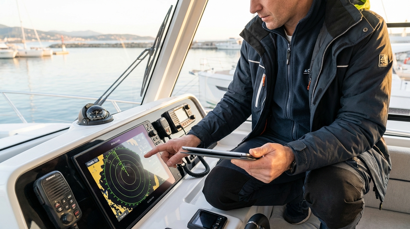
Beam width distortion is another factor to consider. Because radar beams have a specific width (usually 2 to 6 degrees), targets will appear wider on the screen than they are in real life. Two small boats traveling close together may appear as one large blob if they are within the same beam width. As you get closer, the radar will eventually be able to “separate” them into two distinct echoes.
Calculating Risk: Using EBL and VRM for Navigation
The Electronic Bearing Line (EBL) and Variable Range Marker (VRM) are the two most important manual tools for preventing collisions and determining your exact position.
The EBL is a line that you can rotate around the center of your screen. To check if you are on a collision course with another vessel, place the EBL directly over the center of that vessel’s echo. If the echo stays on the line as it gets closer to the center of your screen, you are on a “constant bearing, decreasing range” course. This is the mathematical definition of a collision.
The VRM is an adjustable circle that expands and contracts from the center of your screen. It tells you exactly how far away a target is in nautical miles. By placing the VRM on a known point of land or a lighthouse, you can determine your distance from that object.
When you use the EBL and VRM together, you get a “Range and Bearing” fix. For example, if you know you are 2.5 miles away from a specific lighthouse (using the VRM) at a bearing of 090 degrees (using the EBL), you can plot your exact location on a chart. This is a critical backup skill for when GPS fails.
Leveraging Advanced Tracking: MARPA and AIS Integration
Modern radar systems often include MARPA (Mini-Automatic Radar Plotting Aid), which automates the process of tracking other vessels.
When you “acquire” a target using MARPA, the radar’s computer begins calculating that vessel’s speed, heading, and closest point of approach (CPA). Instead of you having to watch the screen and guess where the ship is going, the MARPA system displays a vector line showing its future path.
AIS (Automatic Identification System) integration takes this a step further. While radar sees “objects,” AIS receives radio broadcasts from other ships containing their name, size, cargo, and destination. When you overlay AIS data onto your radar screen, a “blob” suddenly becomes the “M/V Northern Star,” a 600-foot tanker traveling at 18 knots.
Using a guide to radar features like MARPA and AIS integration allows you to prioritize which targets are dangerous and which can be ignored. However, never rely solely on AIS; small boats are not always required to carry AIS transponders, but they will still show up as a raw radar echo.
Avoiding Collisions: Analyzing CPA and TCPA
The primary goal of using radar is to maintain a safe distance from other vessels, which is measured using CPA (Closest Point of Approach) and TCPA (Time to Closest Point of Approach).
- CPA: This is the distance at which the other vessel will pass you if both of you maintain your current speed and heading. If your CPA is 0.1 miles, you are passing too close for comfort. Most offshore sailors set a “guard zone” or alarm for a CPA of at least 1 or 2 miles.
- TCPA: This tells you how much time you have before that closest point occurs. A TCPA of 5 minutes means you need to make a maneuvering decision immediately.
You can program your radar to sound an audible alarm if any target enters a CPA/TCPA threshold that you define. This “Guard Zone” feature is essential for solo sailors or during long night passages when fatigue might slow your reaction time. If a target crosses into your guard zone, the alarm will wake you or alert you to look at the screen, allowing you to take early and substantial action to avoid a collision.
Navigating in Specific Conditions: Fog, Rain, and Night
Radar is your “eyes” when visibility drops, but you must change your operating habits to match the conditions.
In Fog, your primary concern is “small target detection.” You should decrease your range scale (usually to 1.5 or 3 miles) to ensure you can see fiberglass boats or buoys before you are on top of them. Because sound carries differently in fog, you cannot rely on hearing another boat’s horn to determine their position. Your radar is the only tool that provides an objective distance and bearing.
During Night Navigation, radar helps you distinguish between the “shore lights” of a city and the “navigational lights” of a buoy or ship. It is very easy to lose a boat’s small green or red light against a backdrop of bright city lights on land. The radar ignores the lights and shows you the physical mass of the vessel, allowing you to navigate safely into a crowded harbor.
In Heavy Rain, you must balance the Rain Clutter control. If you turn it up too high, you might filter out a small boat that is inside the rain cell. The best practice is to toggle the control on and off or use a “dual range” display if your radar supports it—one screen tuned for the rain and one tuned for long-range bird or weather detection.
Differentiating Radar Technologies: Pulse vs. Solid-State (Doppler)
The way you use your radar may vary depending on whether you have an older Pulse (Magnetron) system or a modern Solid-State (Compression) system.
Pulse Radar uses a magnetron to send out high-power bursts of energy. These systems require a “warm-up” period of 90 seconds to 3 minutes before they can be used. They are excellent at long-range detection (finding land 48 miles away) but have a “main bang” or blind spot immediately around the boat that can hide targets within 50 feet.
Solid-State Radar (like Broadband or Doppler radar) uses much lower power and is “instant-on.” These systems have incredible short-range resolution, often able to show the individual pilings of a dock. Many solid-state units include Doppler Technology, which automatically colors targets based on whether they are moving toward you (often shown in red) or away from you (shown in green). This “Target Analyzer” feature makes it instantly obvious which boats pose a threat, significantly reducing the learning curve for new users.
Identifying Radar Interference and Ghost Targets
Not everything you see on a radar screen is a physical object; “ghost targets” can be caused by electronic interference or the physics of radar waves.
Interference Patterns occur when another boat nearby is also running a radar on the same frequency. This usually appears as a series of dots spiraling toward the center of your screen. Most modern radars have an “Interference Rejection” (IR) setting that will clean this up instantly.
Side Lobes are a phenomenon where energy leaks out of the side of the radar beam. This can cause a very large, close target (like a massive container ship) to look like a semi-circle that wraps around your boat on the screen. If you see a target that seems to “curve” around you at a constant distance, it is likely a side-lobe reflection of a single large object.
Indirect Reflections happen when your radar pulse hits your own boat’s mast or a large flat surface on your vessel before bouncing off a real target. This can cause a target to appear in a location where there is nothing but open water. Understanding your boat’s “blind spots” (areas where the mast or tuna tower blocks the radar) is essential to ensure you aren’t missing targets in those sectors.
Communicating Radar Data via VHF Radio
Once you have identified a dangerous target on your radar, the next step is often to communicate with that vessel to coordinate a safe passing. This is where your radar and VHF radio work as a team.
If you have AIS integrated into your radar, you will know the name of the ship. You can then pick up your fixed mount VHF radio and hail them directly: “M/V Northern Star, this is the sailing vessel Aurora off your port bow. I have you on radar at 3 miles. What are your intentions for passing?”
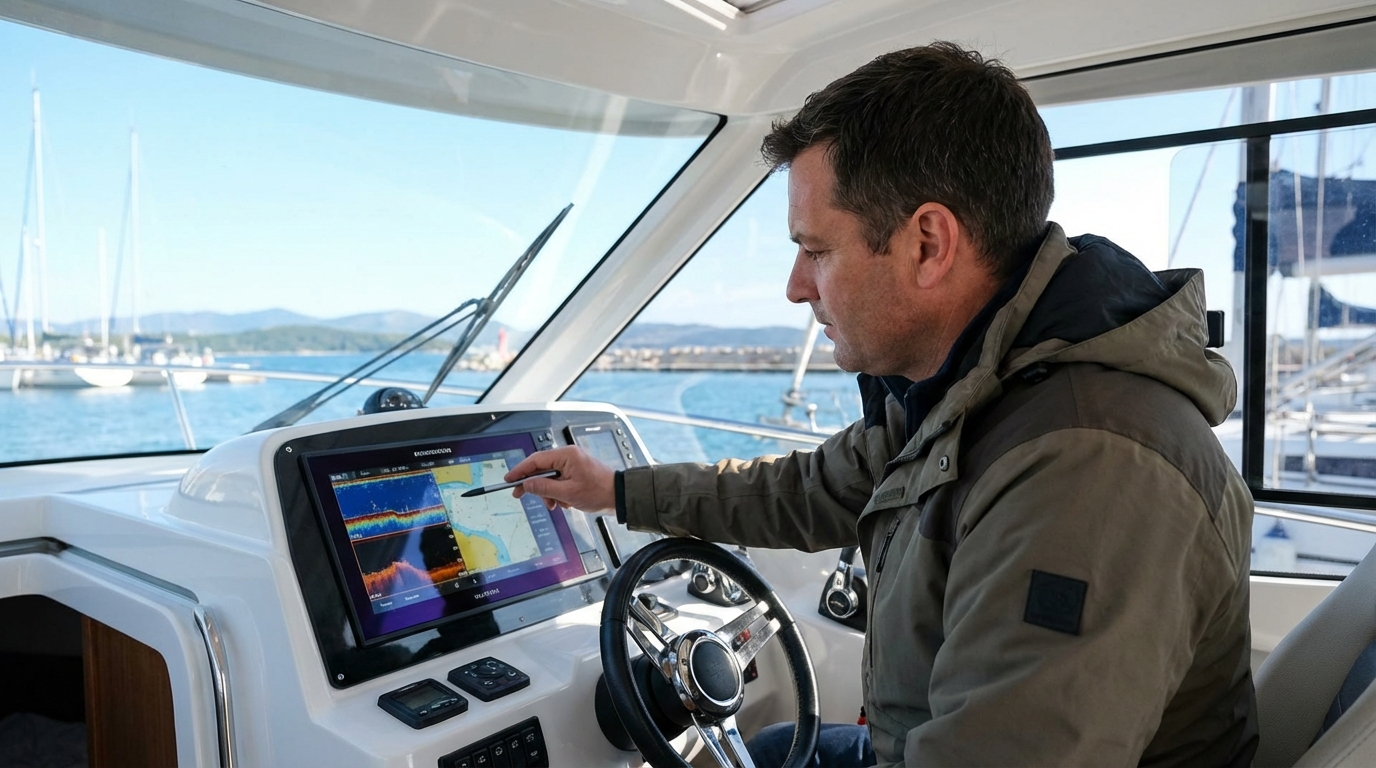
If you do not have AIS, you must use the radar data to describe your relative positions. You would say: “Vessel at position 44 degrees North, 70 degrees West, heading 180 degrees at 12 knots, this is the vessel to your South. I have you on radar…” This allows the other captain to identify themselves. Knowing how to use a VHF radio on a boat effectively is the final step in closing the safety loop that radar begins.
Training and Drills to Improve Your Radar Skills
The worst time to learn how to use marine radar is the first time you are caught in a thick fog bank. You should practice on clear, sunny days to build your “mental translation” skills.
- The “Look Up, Look Down” Drill: While in a familiar harbor on a clear day, look at a buoy or a point of land. Then look at your radar screen. Notice how that buoy appears on the screen. Is it a small dot? Does it flicker? This calibrates your brain to recognize real-world objects as electronic echoes.
- The Range Scale Exercise: Switch between the 1/4 mile, 1 mile, and 6 mile ranges. Notice how the detail changes. You will see that while the 6-mile range gives you a “big picture,” it is very easy to miss a small boat that is close to you.
- The EBL/VRM Tracking Drill: Pick a boat that is moving in the same direction as you. Practice placing the EBL on it and watching if it stays on the line. This builds the muscle memory needed to calculate collision risks quickly under stress.
Maintenance and Safety Protocols for Radar Hardware
To keep your radar functioning, you must perform basic maintenance and adhere to safety rules regarding microwave radiation.
The radar antenna (whether a dome or an open array) must be kept clean. Salt spray can build up on the housing, and while radar waves pass through most plastics, a thick crust of salt can eventually degrade the signal. Clean the unit with fresh water and a mild soap; never use abrasive cleaners that could scratch the surface.
Radiation Safety is a serious concern. A marine radar emits microwave energy that can be harmful to human tissue, particularly the eyes. Never stand directly in front of an open array radar while it is transmitting. When working on the boat’s hardtop or mast, ensure the radar is in “Standby” mode or the power is disconnected entirely. Modern solid-state radars emit much less radiation than older pulse units, but the “safety first” rule still applies.
Additionally, check your cable connections once a season. The data cable and power cable that run from the antenna to the display are subject to vibration and corrosion. A loose connection is the most common cause of “No Connection” or “No Radar” errors on your multi-function display (MFD).
Expert Navigation: Synthesizing Information for Safety
Using marine radar is not about staring at a screen; it is about building a complete picture of the world around you. By combining the raw echoes of the radar with the identification data of AIS and the communication power of your VHF radio, you create a “safety bubble” around your vessel.
The most important takeaway for any boater is that radar is a tool for early action. The International Regulations for Preventing Collisions at Sea (COLREGs) state that any action to avoid collision should be “positive, made in ample time, and with due regard to the observance of good seamanship.” Your radar gives you the “ample time” needed to make a slight course change 5 miles away, rather than a panic maneuver 500 yards away. Trust what the radar tells you, but always verify with your eyes and ears whenever possible.
📅 Last updated: